East New Britain Province Papua New Guinea Bilevel Elevation Map — Stockfoto

East New Britain, province of Papua New Guinea. Bilevel elevation map with lakes and rivers. Locations and names of major cities of the region. Corner auxiliary location maps — Stockbild

East New Britain, province of Papua New Guinea. Bilevel elevation map with lakes and rivers. Locations and names of major cities of the region. Corner auxiliary location maps

 — Foto av Yarr65

Samma serie:

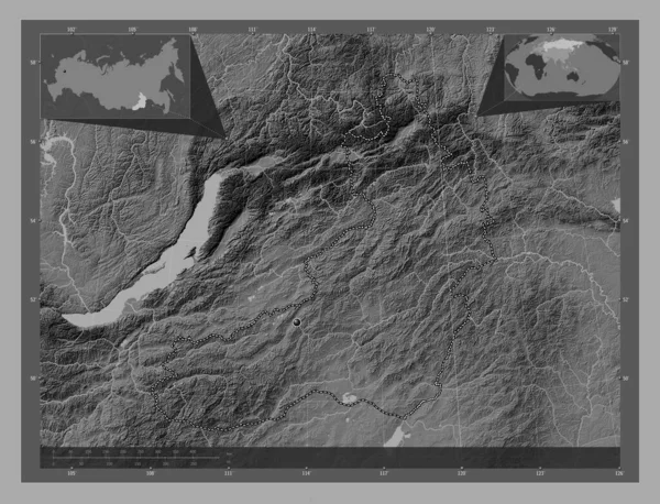
Zabaykal'ye, territory of Russia. Bilevel elevation map with lakes and rivers. Corner auxiliary location maps
Zabaykal Territory Russia Bilevel Elevation Map Lakes Rivers Corner Auxiliary — Stockfoto
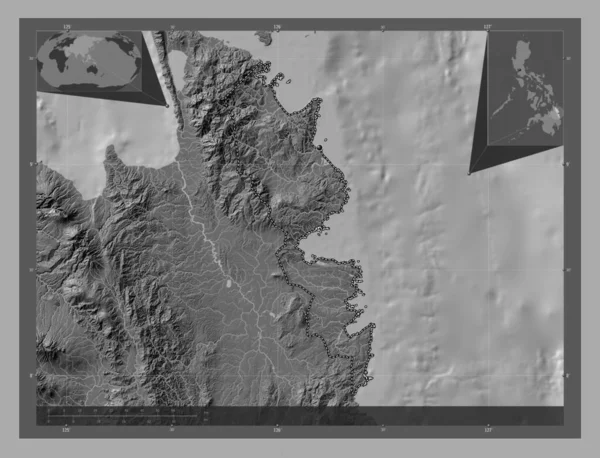
Surigao del Sur, province of Philippines. Bilevel elevation map with lakes and rivers. Corner auxiliary location maps
Surigao Del Sur Province Philippines Bilevel Elevation Map Lakes Rivers — Stockfoto
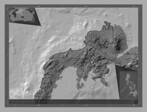
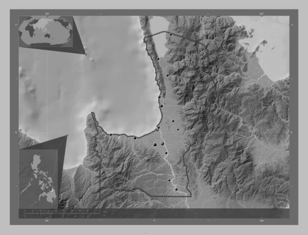
Zamboanga del Norte, province of Philippines. Bilevel elevation map with lakes and rivers. Locations of major cities of the region. Corner auxiliary location maps
Zamboanga Del Norte Province Philippines Bilevel Elevation Map Lakes Rivers — Stockfoto
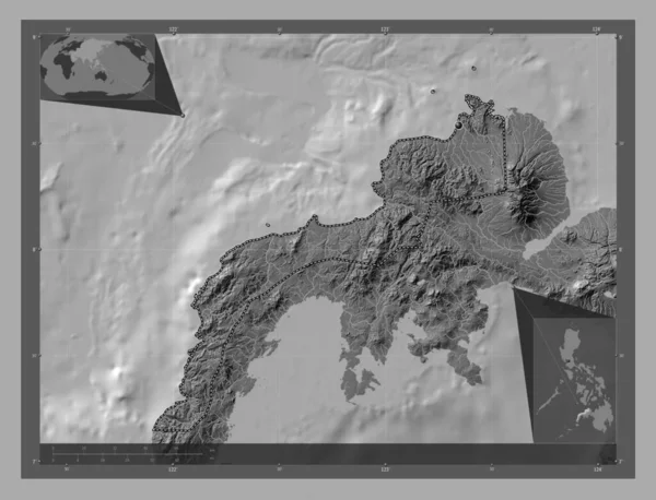
Zamboanga del Norte, province of Philippines. Bilevel elevation map with lakes and rivers. Corner auxiliary location maps
Zamboanga Del Norte Province Philippines Bilevel Elevation Map Lakes Rivers — Stockfoto
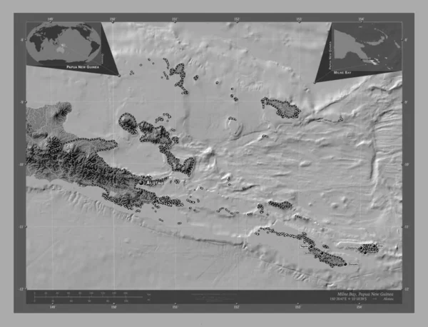
Milne Bay, province of Papua New Guinea. Bilevel elevation map with lakes and rivers. Locations and names of major cities of the region. Corner auxiliary location maps
Milne Bay Province Papua New Guinea Bilevel Elevation Map Lakes — Stockfoto
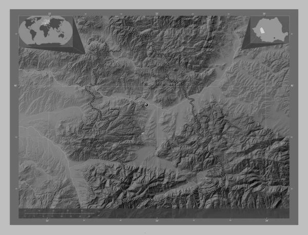
Hunedoara, county of Romania. Grayscale elevation map with lakes and rivers. Corner auxiliary location maps
Hunedoara County Romania Grayscale Elevation Map Lakes Rivers Corner Auxiliary — Stockfoto
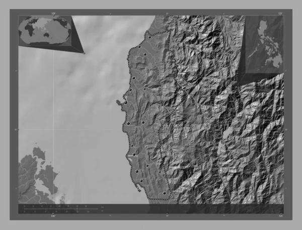
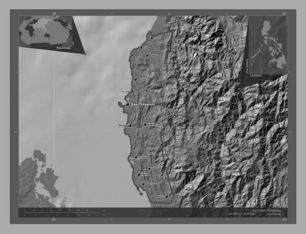
La Union, province of Philippines. Bilevel elevation map with lakes and rivers. Locations of major cities of the region. Corner auxiliary location maps
Union Province Philippines Bilevel Elevation Map Lakes Rivers Locations Major — Stockfoto
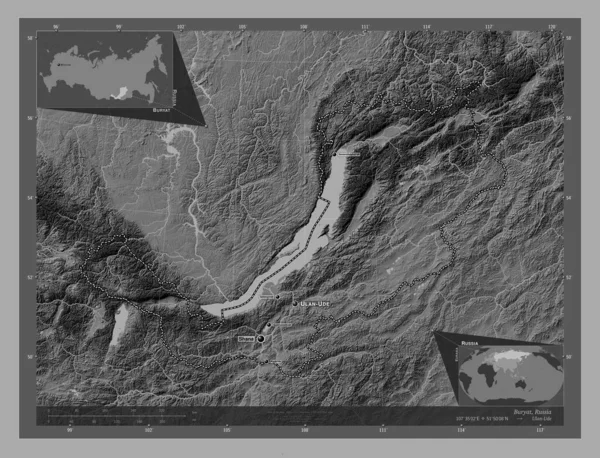
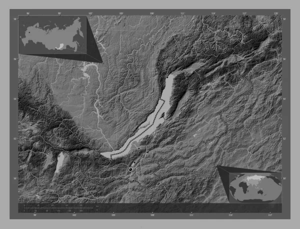
Buryat, republic of Russia. Bilevel elevation map with lakes and rivers. Locations and names of major cities of the region. Corner auxiliary location maps
Buryat Republic Russia Bilevel Elevation Map Lakes Rivers Locations Names — Stockfoto
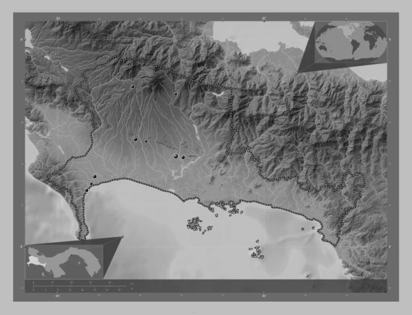
Chiriqui, province of Panama. Grayscale elevation map with lakes and rivers. Locations of major cities of the region. Corner auxiliary location maps
Chiriqui Province Panama Grayscale Elevation Map Lakes Rivers Locations Major — Stockfoto
Agusan del Norte, province of Philippines. Grayscale elevation map with lakes and rivers. Locations of major cities of the region. Corner auxiliary location maps
Agusan Del Norte Province Philippines Grayscale Elevation Map Lakes Rivers — Stockfoto
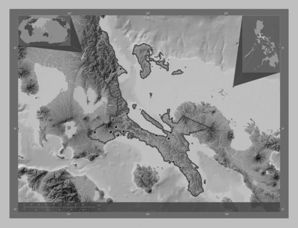
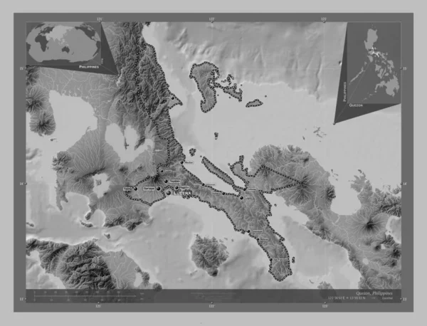
Quezon, province of Philippines. Grayscale elevation map with lakes and rivers. Locations of major cities of the region. Corner auxiliary location maps
Quezon Province Philippines Grayscale Elevation Map Lakes Rivers Locations Major — Stockfoto
Buryat, republic of Russia. Bilevel elevation map with lakes and rivers. Locations of major cities of the region. Corner auxiliary location maps
Buryat Republic Russia Bilevel Elevation Map Lakes Rivers Locations Major — Stockfoto
La Union, province of Philippines. Bilevel elevation map with lakes and rivers. Locations and names of major cities of the region. Corner auxiliary location maps
Union Province Philippines Bilevel Elevation Map Lakes Rivers Locations Names — Stockfoto
Quezon, province of Philippines. Grayscale elevation map with lakes and rivers. Locations and names of major cities of the region. Corner auxiliary location maps
Quezon Province Philippines Grayscale Elevation Map Lakes Rivers Locations Names — Stockfoto
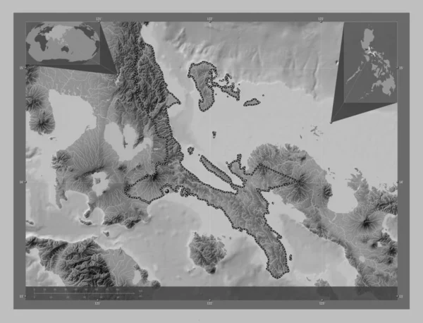
Quezon, province of Philippines. Grayscale elevation map with lakes and rivers. Corner auxiliary location maps
Quezon Province Philippines Grayscale Elevation Map Lakes Rivers Corner Auxiliary — Stockfoto

Användningsinformation

Du kan använda det royaltyfria fotot "East New Britain, province of Papua New Guinea. Bilevel elevation map with lakes and rivers. Locations and names of major cities of the region. Corner auxiliary location maps" för personliga och kommersiella ändamål enligt standardlicensen eller den utökade licensen. Standardlicensen omfattar de flesta användningsområden, inklusive reklam, design av användargränssnitt och produktförpackningar, och tillåter upp till 500 000 tryckta kopior. Den utökade licensen omfattar samtliga av standardlicensens användningsområden med obegränsade utskriftsrättigheter, och låter dig använda de nedladdade bilderna för handelsvaror, återförsäljning av produkter eller gratis distribution.

Vektorbilden kan skalas till valfri storlek. Du kan köpa och ladda ner den i hög upplösning upp till 4930x3770. Uppladdningsdatum: 28 jan. 2023