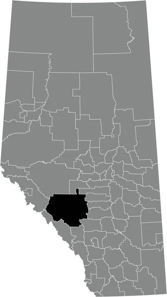
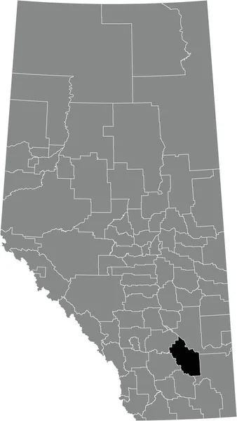
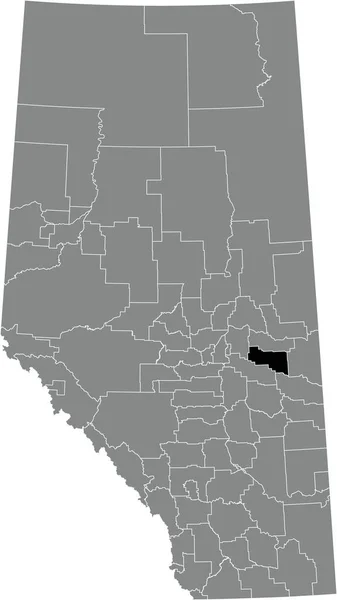
Black Flat Blank Highlighted Location Map Cypress County Municipal District — Stock vektor

Black flat blank highlighted location map of the CYPRESS COUNTY municipal district inside gray administrative map of the Canadian province of Alberta, Canada — vektor

Black flat blank highlighted location map of the CYPRESS COUNTY municipal district inside gray administrative map of the Canadian province of Alberta, Canada

 — Vektor av momcilo.jovanov

Samma serie:

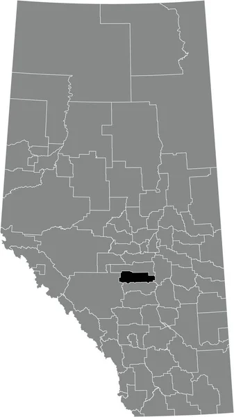
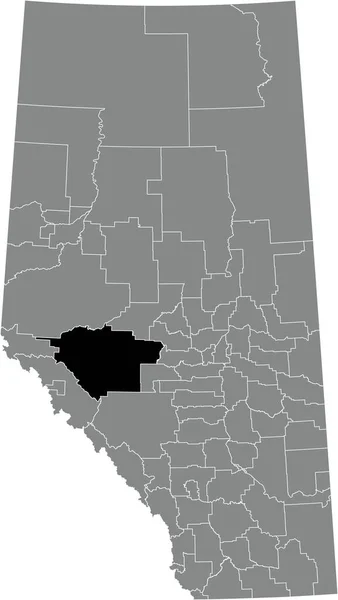
Black flat blank highlighted location map of the CLEARWATER COUNTY municipal district inside gray administrative map of the Canadian province of Alberta, Canada
Black Flat Blank Highlighted Location Map Clearwater County Municipal District — Stock vektor
Gray flat blank vector administrative map of Canadian province of ALBERTA, CANADA with white border lines of its municipal districts, special areas, specialized municipalities and improvement districts
Gray Flat Blank Vector Administrative Map Canadian Province Alberta Canada — Stock vektor
Black flat blank highlighted location map of the FOOTHILLS COUNTY municipal district inside gray administrative map of the Canadian province of Alberta, Canada
Black Flat Blank Highlighted Location Map Foothills County Municipal District — Stock vektor
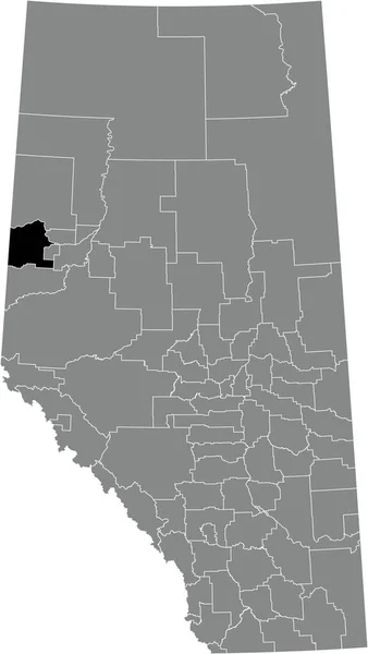
Black flat blank highlighted location map of the SADDLE HILLS COUNTY municipal district inside gray administrative map of the Canadian province of Alberta, Canada
Black Flat Blank Highlighted Location Map Saddle Hills County Municipal — Stock vektor
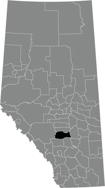
Black flat blank highlighted location map of the RED DEER COUNTY municipal district inside gray administrative map of the Canadian province of Alberta, Canada
Black Flat Blank Highlighted Location Map Red Deer County Municipal — Stock vektor
Black flat blank highlighted location map of the KNEEHILL COUNTY municipal district inside gray administrative map of the Canadian province of Alberta, Canada
Black Flat Blank Highlighted Location Map Kneehill County Municipal District — Stock vektor
Black flat blank highlighted location map of the MACKENZIE COUNTY specialized municipality inside gray administrative map of the Canadian province of Alberta, Canada
Black Flat Blank Highlighted Location Map Mackenzie County Specialized Municipality — Stock vektor
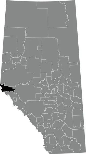
Black flat blank highlighted location map of the IMPROVEMENT DISTRICT NO. 25 (WILLMORE WILDERNESS) inside gray administrative map of the Canadian province of Alberta, Canada
Black Flat Blank Highlighted Location Map Improvement District Willmore Wilderness — Stock vektor
Black flat blank highlighted location map of the COUNTY OF NEWELL municipal district inside gray administrative map of the Canadian province of Alberta, Canada
Black Flat Blank Highlighted Location Map County Newell Municipal District — Stock vektor
Black flat blank highlighted location map of the PONOKA COUNTY municipal district inside gray administrative map of the Canadian province of Alberta, Canada
Black Flat Blank Highlighted Location Map Ponoka County Municipal District — Stock vektor
Black flat blank highlighted location map of the BIGHORN NO. 8 municipal district inside gray administrative map of the Canadian province of Alberta, Canada
Black Flat Blank Highlighted Location Map Bighorn Municipal District Gray — Stock vektor
Black flat blank highlighted location map of the WOOD BUFFALO regional specialized municipality inside gray administrative map of the Canadian province of Alberta, Canada
Black Flat Blank Highlighted Location Map Wood Buffalo Regional Specialized — Stock vektor
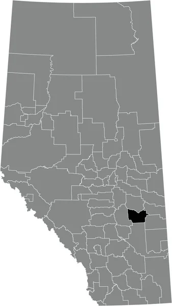
Black flat blank highlighted location map of the COUNTY OF PAINTEARTH NO. 18 municipal district inside gray administrative map of the Canadian province of Alberta, Canada
Black Flat Blank Highlighted Location Map County Paintearth Municipal District — Stock vektor
Black flat blank highlighted location map of the COUNTY OF MINBURN NO. 27 municipal district inside gray administrative map of the Canadian province of Alberta, Canada
Black Flat Blank Highlighted Location Map County Minburn Municipal District — Stock vektor
Black flat blank highlighted location map of the YELLOWHEAD COUNTY municipal district inside gray administrative map of the Canadian province of Alberta, Canada
Black Flat Blank Highlighted Location Map Yellowhead County Municipal District — Stock vektor
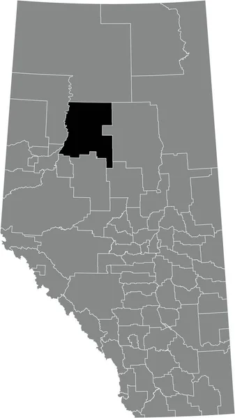
Black flat blank highlighted location map of the NORTHERN SUNRISE COUNTY municipal district inside gray administrative map of the Canadian province of Alberta, Canada
Black Flat Blank Highlighted Location Map Northern Sunrise County Municipal — Stock vektor

Användningsinformation

Du kan använda den royaltyfria vektorbilden "Black flat blank highlighted location map of the CYPRESS COUNTY municipal district inside gray administrative map of the Canadian province of Alberta, Canada" för personliga och kommersiella ändamål enligt standardlicensen eller den utökade licensen. Standardlicensen omfattar de flesta användningsområden, inklusive reklam, design av användargränssnitt och produktförpackningar, och tillåter upp till 500 000 tryckta kopior. Den utökade licensen omfattar samtliga av standardlicensens användningsområden med obegränsade utskriftsrättigheter, och låter dig använda de nedladdade vektorfilerna för handelsvaror, återförsäljning av produkter eller gratis distribution.

Vektorbilden kan skalas till valfri storlek. Du kan köpa och ladda ner den i hög upplösning upp till 3664x6506. Uppladdningsdatum: 10 jan. 2022